We take a global interdisciplinary approach
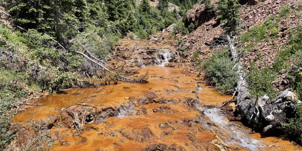
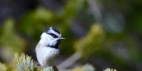
INSTAAR's research is truly global in scope, not only spanning latitudes, elevations, and timescales, but crossing multiple science disciplines. This wide range increases our ability to help solve the challenging environmental issues that confront our world.

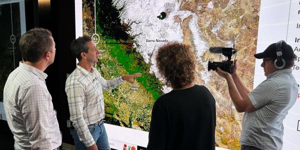
We work across a number of science disciplines, including in the overlap between them. Small white circles represent individual INSTAAR faculty fellows (as of early 2022). Not shown are our non-traditional fields (for a traditional science institute) such as policy, art, and human dimensions. The INSTAAR members who work in these additional fields help broaden our policy relevance and public engagement.