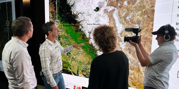
INSTAAR conducts interdisciplinary research and education on the past, present, and future of Earth systems in service of a just and thriving world.
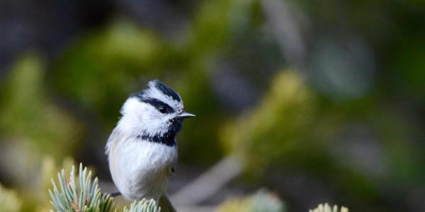
With deep roots in polar regions, alpine environments, and Quaternary history, today we embrace a global perspective on bellwethers of environmental change.