Data Downloads: Paleoglaciology of Alaska
|
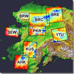
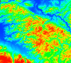
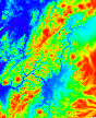
At left are shown the eight target areas for this project. Click on a project area, or scroll down this page to download: Digital Elevation Models (DEM's):
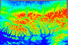
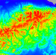
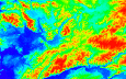
Shaded relief images:
|
Please note:
- Read the metadata!
- .tar and .gzipped files can be uncompressed with a variety of file utilities, such as Stuffit Browser
- Download the files using your web browser
BRW: Western Brooks Range
|
brw_dem, a 60 m Digital Elevation Model (DEM) for the western Brooks Range
|
BRC: Central Brooks Range
 |
brc_dem, a 60 m Digital Elevation Model (DEM) for the central Brooks Range
|
BRE: Eastern Brooks Range
 |
bre_dem, a 60 m Digital Elevation Model (DEM) for the eastern Brooks Range
|
SEW: Seward Peninsula
 |
sew_dem, a 60 m Digital Elevation Model (DEM) for Seward Peninsula
|
PKR: Purcell - Kokrines - Ray Mountains
 |
pkr_dem, a 60 m Digital Elevation Model (DEM) for the area including the Purcell Mtns., Kokrines Hills, and Ray Mountains
|
YTU: Yukon - Tanana Upland
 |
ytu_dem, a 60 m Digital Elevation Model (DEM) for the Yukon-Tanana Upland
|
KUS: Kuskokwim Range
 |
kus_dem, a 60 m Digital Elevation Model (DEM) for the Kuskokwim Mountains
|
AHK: Ahklun Mountains
 |
ahk_dem, a 60 m Digital Elevation Model (DEM) for the Ahklun and Wood River Mountains area
|
RELATED LINKS
- Back to the Paleoglaciology of Alaska page
- INSTAAR QGIS Laboratory
- Alaska Geospatial Data Clearinghouse, for a broad range of GIS layers