GEOPHYSICS
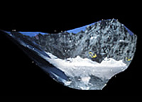
Simple 3D model of Arapahoe Glacier helps with environmental change studies. Colorado Front Range.
Glacier mapping
Example application for geophysical sciences.
Terrestrial photogrammetry permits easy extraction of topographic profiles from easily obtained ground-based imagery. Simple mapping projects can be accomplished with a minimal investment of time and expense, especially in comparison to full aerial photogrammetric surveying.
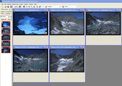
Reference points on the glacier are mapped onto a series of hand-held photographs taken with a calibrated conventional camera.

Elevation profile extracted from 2003 3-D model compared with 1960 topographic map shows approximately 30 m thinning in 40 years.